RSS feed source: Volcano Discovery.com

Volcanoes Today, 18 Jul 2025: Santiaguito volcano, Popocatépetl, Semeru, Ibu, Dukono, Marapi, Reventador, Erta Ale

Fri, 18 Jul 2025, 13:00 1752843605 | BY: VN

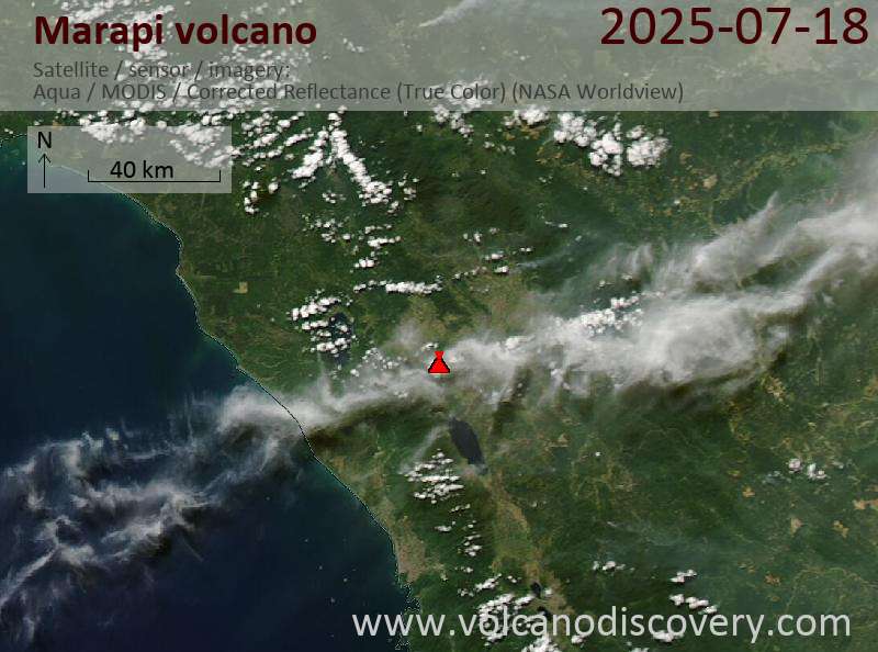
Satellite image of Marapi volcano on 18 Jul 2025

Satellite image of Reventador volcano on 17 Jul 2025

The timelapse combining Sentinel-1 and Sentinel-2 imagery shows an impressive morphology changes in the northern pit crater and 10 km long lava flow (image: European Space Agency)

Sakurajima (Kyushu, Japan): Volcanic Ash Advisory Center Tokyo (VAAC) issued the following report: ERUPTED AT 20250718/1100Z FL110 EXTD N OBS VA DTG:18/1050Z

Ibu (Halmahera, Indonesia): Explosive activity continues. Volcanic Ash Advisory Center (VAAC) Darwin warned about a volcanic ash plume that rose up to estimated 7000 ft (2100 m) altitude or flight level 070 .
The full report is as follows: VA TO FL070 MOV NE, LAST REPORTED AT 18/0854Z to 7000 ft (2100 m)

Lewotobi (Flores): Explosive activity continues. Volcanic Ash Advisory

Click this link to continue reading the article on the source website.

RSS feed source: Volcano Discovery.com

<!–div style="font-size:14px;text-align:center;border:3px solid blue;border-radius:5px;padding:3px;margin:5px;background:#eee"><a href="https://www.volcanoesandearthquakes.com/app/volcano-report.php?volcanoId=62" style="text-decoration:none" target="_blank" rel="noopener noreferrer nofollow" title="Share a volcano (activity) report, submit a photo or other interesting news!” onclick=”window.open(this.href,’Volcano Report’,’status=0,toolbar=0,location=0,directories=0,menubar=0,resizable=1,scrollbars=1,height=500,width=450′);return false”>Send Volcano Report</div–> Stratovolcano 2891 m (9,485 ft)
Western Sumatra, Indonesia, -0.39°S / 100.46°E
Current status: erupting (4 out of 5) Marapi volcano eruptions:
2011-ongoing, 2004 (Aug), 2001, 2000, 1999, 1987-94, 1984, 1984, 1983, 1982, 1980, 1975-79, 1973, 1970-71, 1968(?), 1967, 1966, 1958, 1958, 1954-57, 1950-52, 1949, 1949, 1943, 1932, 1930, 1929, 1927, 1925, 1919, 1918, 1918, 1917, 1916, 1915, 1913, 1911, 1910, 1907-08, 1905, 1904, 1889, 1888, 1886, 1885, 1883, 1878(?), 1883, 1876-77, 1876, 1871, 1871, 1863, 1861, 1855-56, 1854, 1845, 1833-34, 1822, 1807, 1770
Typical eruption style
Small to moderate sized explosions

Click this link to continue reading the article on the source website.

RSS feed source: Volcano Discovery.com

Date and TimeMag
DepthDistanceLocationDetailsMap Jul 16, 11:31 pm (GMT -6)

4.3

56 km58 km (36 mi) to the SW North Pacific Ocean, 73 km west of Huixtla, Estado de Chiapas, MexicoI FELT IT InfoJul 10, 10:44 pm (GMT -6)

4.1

8.8 km93 km (58 mi) to the SW Offshore Chiapas, Mexico InfoJul 10, 07:19 am (Merida)

5.1

10 km95 km (59 mi) to the W North Pacific Ocean, 41 km south of Tonala, Estado de Chiapas, Mexico 4 reportsInfoJul 9, 12:57 am (Merida)

4.4

85 km58 km (36 mi) to the W Offshore Chiapas, Mexico 1 reportInfoJul 5, 06:57 pm (Merida)

4.2

71 km41 km (25 mi) to the S North Pacific Ocean, 43 km south of Mapastepec, Estado de Chiapas, Mexico InfoDec 13, 2021 01:03 am (Mexico City)

5.6

180 km68 km (42 mi) to the E 4.8 km north of Motozintla, Estado de Chiapas, Mexico 72 reportsInfoFeb 1, 2019 10:19 am (Mexico City)

6.7

0 km93 km (58 mi) to the SE North Pacific Ocean, 33 km southwest of Tapachula, Estado de Chiapas, Mexico InfoFeb 1, 2019 10:14 am (Guatemala)

6.5

72 km100 km (62 mi) to the SE 29 km west of San Marcos, Departamento de San Marcos, Guatemala 207 reportsInfoSep 7, 2017 10:49 pm (GMT -6)

8.0

60 km109 km (68 mi) to the SW North Pacific Ocean, 87 km southwest of Topon, Estado de Chiapas, Mexico 317 reportsInfoApr 27, 2016 06:51 am (GMT -6)

5.9

28 km91 km (56 mi) to the S Near Coast of Chiapas, Mexico 12 reportsInfoDec 17, 2015 01:49 pm (Merida)

6.4

90 km77 km (48 mi) to the NW Near Coast of Chiapas, Mexico 53 reportsInfoJul 7,

Click this link to continue reading the article on the source website.

RSS feed source: Volcano Discovery.com

Fri, 18 Jul 2025, 11:20 | BY: EARTHQUAKEMONITOR

Worldwide earthquakes above magnitude 3 during the past 24 hours on 18 Jul 2025

Summary: 7 quakes 5.0+, 33 quakes 4.0+, 140 quakes 3.0+, 276 quakes 2.0+ (456 total)
This report is being updated every hour.
Magnitude 5+: 7 earthquakes
Magnitude 4+: 33 earthquakes
Magnitude 3+: 140 earthquakes
Magnitude 2+: 276 earthquakes
No quakes of magnitude 6 or higherTotal seismic energy estimate: 4.4 x 10¹³ joules (12.4 gigawatt hours, equivalent to 10630 tons of TNT or 0.7 atomic bombs!) | equivalent to ONE quake of magnitude 5.9 learn more10 largest earthquakes in the world (past 24 hours)#1: Mag 5.4 Nay Pyi Taw, 35 km east of Shwebo, Sagaing Region, MyanmarFriday, Jul 18, 2025, at 04:00 pm (Yangon time) – #2: Mag 5.2 100 km southeast of Antofagasta, Provincia de Antofagasta, Region de Antofagasta, ChileThursday, Jul 17, 2025, at 04:31 pm (GMT -4) – #3: Mag 5.2 Indian Ocean, 58 km southeast of Pulau Pini Island, North Sumatra, IndonesiaFriday, Jul 18, 2025, at 02:02 am (GMT +7) – #4: Mag 5.1 Coral Sea, 56 km northeast of Tanna Island, Tafea Province, VanuatuFriday, Jul 18, 2025, at 09:17 pm (GMT +11) – #5: Mag 5.1 North Pacific Ocean, Departamento de Chimaltenango, 103 km south of Puerto San Jose, GuatemalaFriday, Jul 18, 2025, at 12:49 am (GMT -6) – #6: Mag 5.1 Arabian Sea, YemenFriday,

Click this link to continue reading the article on the source website.