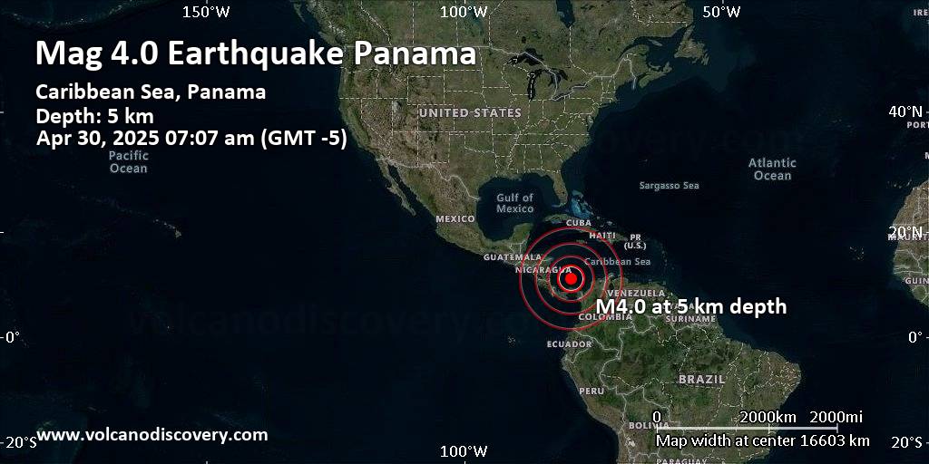
RSS feed source: Volcano Discovery.com--Global earthquake monitor

181 km (113 mi)

S of epicenter

Isla Grande

(pop: 302)

I: Not felt

Provincia de Colon 185 km (115 mi)

S of epicenter

Palenque

(pop: 355)

I: Not felt

Santa Isabel, Provincia de Colon 185 km (115 mi)

S of epicenter

Nombre de Dios

(pop: 872)

I: Not felt

Santa Isabel, Provincia de Colon 187 km (117 mi)

S of epicenter

Palmira

(pop: 254)

I: Not felt

Santa Isabel, Provincia de Colon 192 km (119 mi)

S of epicenter

Portobelo

(pop: 1,390)

I: Not felt

Provincia de Colon 193 km (120 mi)

S of epicenter

Tubuala

(pop: 1,060)

I: Not felt

El Porvenir, Guna Yala 199 km (123 mi)

S of epicenter

Carti Sugtupu

(pop: 1,050)

I: Not felt

El Porvenir, Guna Yala 206 km (128 mi)

S of epicenter

Maria Chiquita

(pop: 1,150)

I: Not felt

Portobelo, Provincia de Colon 212 km (132 mi)

S of epicenter

Nargana

(pop: 1,090)

I: Not felt

Guna Yala 214 km (133 mi)

S of epicenter

Salamanca

(pop: 981)

I: Not felt

Distrito de Colon, Provincia de Colon 217 km (135 mi)

S of epicenter

Mamoni Arriba

(pop: 129)

I: Not felt

Distrito de Chepo, Provincia de Panama 217 km (135 mi)

S of epicenter

Cativa

(pop: 29,600)

I: Not felt

Distrito de Colon, Provincia

Click this link to continue reading the article on the source website.
RSS feed source: Volcano Discovery.com--Global earthquake monitor

Wed, 30 Apr 2025, 12:01 | BY: EARTHQUAKEMONITOR

Just 8 minutes ago, a 5.8-magnitude earthquake struck near Kimbe, Talasea District, West New Britain Province, Papua New Guinea. The tremor was recorded in the evening on Wednesday, April 30th, 2025, at 9:51 pm local time, at a shallow depth of 10. km below the surface.
The event was filed by the German Research Centre for Geosciences (GFZ), the first seismological agency to report it.
Our monitoring service identified a second report from the citizen-seismograph network of RaspberryShake which listed the quake at magnitude 5.8 as well. A third agency, Indonesia’s Meteorology, Climatology, and Geophysical Agency, reported the same quake at magnitude 5.3.
Based on the preliminary seismic data, the quake was probably felt by many people in the area of the epicenter. It should not have caused significant damage, other than objects falling from shelves, broken windows, etc.
In Kimbe (pop. 18,800) located 92 km from the epicenter, the quake should have been felt as light shaking.
VolcanoDiscovery will automatically update magnitude and depth if these change and follow up if other significant news about the quake become available. If you’re in the area, please send us your experience through our reporting mechanism, either online or via our mobile app. This will help us provide more first-hand updates to anyone around the globe who wants to know

Click this link to continue reading the article on the source website.

RSS feed source: Volcano Discovery.com--Global earthquake monitor

Date and TimeMag
DepthDistanceLocationDetailsMap Apr 25, 10:52 am (Port Moresby)

4.6

213 km43 km (27 mi) to the NW Bismarck Sea, 53 km southwest of Lolobau Island, Papua New GuineaI FELT IT InfoApr 23, 08:11 pm (GMT +10)

5.1

10 km94 km (58 mi) to the SE Solomon Sea, 141 km south of Lolobau Island, Papua New GuineaI FELT IT InfoApr 23, 07:42 am (GMT +10)

4.9

10 km85 km (53 mi) to the SE Solomon Sea, 146 km south of Lolobau Island, Papua New Guinea InfoApr 20, 06:25 am (GMT +10)

4.8

7.2 km102 km (64 mi) to the SE Solomon Sea, 156 km south of Lolobau Island, Papua New Guinea InfoApr 18, 05:58 pm (GMT +10)

4.9

10 km82 km (51 mi) to the SE Solomon Sea, 141 km south of Lolobau Island, Papua New Guinea InfoMay 2, 2024 09:45 am (Port Moresby)

5.8

29 km28 km (17 mi) to the SE 107 km ESE of Kimbe, Papua New Guinea 1 reportInfoApr 15, 2024 06:56 am (Port Moresby)

6.5

49 km34 km (21 mi) to the SE 111 km ESE of Kimbe, Papua New Guinea 17 reportsInfoMar 14, 2024 01:13 am (Port Moresby)

6.0

44 km43 km (27 mi) to the SW East New Britain Province, 68 km southeast of Kimbe, Papua New Guinea 14 reportsInfoAug 26, 2020 05:08 am (Port Moresby)

6.1

34 km93 km (58 mi) to the E 138 km south of Kokopo, East New Britain Province, Papua New Guinea 2 reportsInfoAug 26, 2020 05:03 am (Port Moresby)

5.8

31 km90 km (56 mi) to the E 138 km south of Kokopo, East New Britain Province,

Click this link to continue reading the article on the source website.

RSS feed source: Volcano Discovery.com--Global earthquake monitor

Wed, 30 Apr 2025, 09:28 | BY: EARTHQUAKEMONITOR

A magnitude 4.0 earthquake near San Felipe, Mexicali Municipality, Estado de Baja California, Mexico, was reported only 13 minutes ago by the United States Geological Survey, considered one of the key international agencies that monitor seismic activity worldwide. The earthquake occurred at a very shallow depth of 8. km beneath the epicenter early morning on Wednesday, April 30th, 2025, at 2:13 am local time. The exact magnitude, epicenter, and depth of the quake might be revised within the next few hours or minutes as seismologists review data and refine their calculations, or as other agencies issue their report.
Our monitoring service identified a second report from The Incorporated Research Institutions for Seismology (IRIS) which listed the quake at magnitude 3.9. A third agency, the European-Mediterranean Seismological Centre (EMSC), reported the same quake at magnitude 4.0.
Based on the preliminary seismic data, the quake should not have caused any significant damage, but was probably felt by many people as light vibration in the area of the epicenter.
Weak shaking might have been felt in Rancho Dolores (pop. 22) located 17 km from the epicenter.
Other towns or cities near the epicenter where the quake might have been felt as very weak shaking include San Vicente (pop. 4,400) located 64 km from the epicenter, Fraccionamiento del Valle (pop. 1,100)

Click this link to continue reading the article on the source website.