RSS feed source: US National Weather Service

* WHAT…Flooding caused by excessive rainfall. * WHERE…The island of Hawaii in Hawaii County. * WHEN…Until 915 PM HST. * IMPACTS…Minor flooding on roads, poor drainage areas, and in streams. Water over roadways. * ADDITIONAL DETAILS… – At 608 PM HST, radar indicated heavy rain over portions of the western Big Island. Rain was falling at a rate of 1 to 2 inches per hour. – Some locations that will experience flooding include… Kailua-Kona, Captain Cook, Waikoloa Village, Honalo, Kainaliu, Kealakekua, Holualoa, Honaunau, Kahaluu-Keauhou, Pohakuloa Training Area, Puuanahulu, Kalaoa, Puako, Kawaihae, Hawaiian Ocean View, Kona International Airport, Waikii, Waikoloa Beach, Mauna Lani and Milolii.

Click this link to continue reading the article on the source website.

RSS feed source: US National Weather Service

FFWTSA The National Weather Service in Tulsa has issued a * Flash Flood Warning for… Creek County in northeastern Oklahoma… Southeastern Osage County in northeastern Oklahoma… Southeastern Pawnee County in northeastern Oklahoma… Rogers County in northeastern Oklahoma… Tulsa County in northeastern Oklahoma… Northwestern Wagoner County in northeastern Oklahoma… Southern Washington County in northeastern Oklahoma… * Until 415 AM CDT. * At 1109 PM CDT, Doppler radar indicated thunderstorms producing heavy rain across the warned area. Between 1 and 3 inches of rain have fallen through today. Additional rainfall amounts of 0.5 to 2 inches are possible in the warned area through 4 AM. Flash flooding is ongoing or expected to begin

Click this link to continue reading the article on the source website.
RSS feed source: US National Weather Service

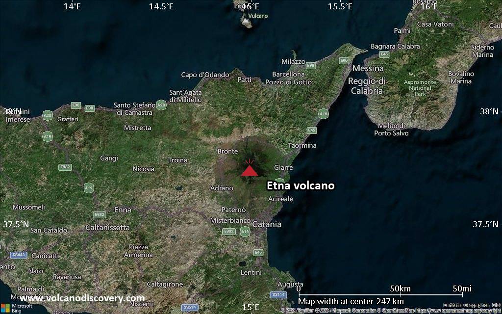
<!–div style="font-size:14px;text-align:center;border:3px solid blue;border-radius:5px;padding:3px;margin:5px;background:#eee"><a href="https://www.volcanoesandearthquakes.com/app/volcano-report.php?volcanoId=16" style="text-decoration:none" target="_blank" rel="noopener noreferrer nofollow" title="Share a volcano (activity) report, submit a photo or other interesting news!” onclick=”window.open(this.href,’Volcano Report’,’status=0,toolbar=0,location=0,directories=0,menubar=0,resizable=1,scrollbars=1,height=500,width=450′);return false”>Send Volcano Report</div–> Complex stratovolcano Currently 3,369 m / 11,053 ft (changing due to eruptive activity and collapse of its crater rims)
Sicily, Italy, 37.75°N / 14.99°E
Current status: erupting (4 out of 5) Etna volcano eruptions:
Near continuously active; some major historic eruptions include 122 BC (large Plinian outbursts that created the small caldera of the “Cratere del Piano”), 1669 AD (devastating flank eruption that destroyed 15 villages and part of Catania), 1787 (Subplinian eruption and one of the most spectacular summit eruptions on record – lava fountains reportedly up to 3000 m high).
Eruptions since 1950 (f: flank / s: summit activity): 1950 (s), 1950-51(f), 1955 (s), 1956 (s), 1956 (f), 1957 (s),1960 (s), 1961 (s), 1964 (f), 1964 (s), 1966

Click this link to continue reading the article on the source website.
RSS feed source: US National Weather Service

Wed, 30 Apr 2025, 04:04 | BY: EARTHQUAKEMONITOR

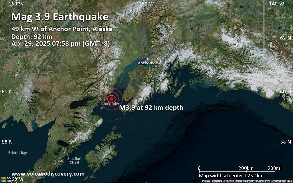
An intermediate magnitude 3.9 earthquake was reported early evening near Anchor Point, Kenai Peninsula, Alaska, USA.
According to the United States Geological Survey, the quake hit on Tuesday, April 29th, 2025, at 7:58 pm local time at an intermediate depth of 57 miles. The exact magnitude, epicenter, and depth of the quake might be revised within the next few hours or minutes as seismologists review data and refine their calculations, or as other agencies issue their report.
A second report was later issued by The Incorporated Research Institutions for Seismology (IRIS), which listed it as a magnitude 3.9 earthquake as well. A third agency, the European-Mediterranean Seismological Centre (EMSC), reported the same quake at magnitude 4.2.
According to preliminary calculations, we do not expect that the quake was felt by many people and did not cause any damage. In Anchor Point (pop. 1,900, 31 miles away), Diamond Ridge (pop. 1,200, 40 miles away), Homer (pop. 5,500, 40 miles away), and Fritz Creek (pop. 1,900, 49 miles away), the quake was probably not felt.

If you felt it, report it through our site or app right now!

Download and Upgrade the Volcanoes & Earthquakes app to get one of the fastest seismic alerts online:
Android | IOS
Earthquake data:

I felt this quake

Date & time: Apr 29, 2025 07:58 pm (GMT -8) local

Click this link to continue reading the article on the source website.