Holling, C.S. “Engineering resilience versus ecological resilience.” Engineering within ecological constraints 31, no. 1996 (1996): 32.

‘Engineering resilience’ is not ‘resilience engineering’. One of the most common mistakes made by experts and newcomers is to use these two terms interchangeably as if they were same. Instead, each term refers to conflicting perspectives on what resilience means in engineered systems.

Read More


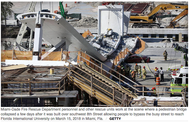
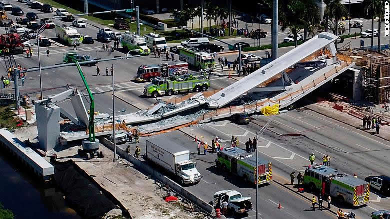
On 15 March 2018, a pedestrian bridge connecting Florida International University (FIU) to the nearby town of Sweetwater collapsed on top of traffic across a 6 lane roadway below. Six people lost their lives and ten others were sent to the hospital. The bridge, which was installed just 5 days prior to the collapse, was designed to withstand a category 5 hurricane. The 174 foot span concrete truss structure weighing 950 tons was built using the Accelerated Bridge Construction (ABC) method.

Read More

Published by CBS News March 20,2018

MIAMI — Construction of the pedestrian bridge that collapsed and killed six people in the Miami area was behind schedule and millions over budget, in part because of a key change in the design and placement of one of its support towers. Documents obtained by The Associated Press through a public-records request show that the Florida Department of Transportation in October 2016 ordered Florida International University (FIU) and its contractors to move one of the bridge’s main support structures 11 feet north to the edge of a canal, widening the gap between the crossing’s end supports and requiring some new structural design.

Engineer flagged “cracking” in Miami bridge 2 days before deadly collapse

The span’s signature, 109-foot-tall pylon was to be built atop a footing, or base, at the northern end of the span. In addition to basic support, its design was also aimed at contributing to the aesthetics of the bridge, which itself was touted as an architectural marvel that would span a busy road and canal to connect the rapidly growing university to the nearby community of Sweetwater. In their winning 2015 proposal, designers said the bridge provided “spectacular views” for both pedestrians using the bridge and drivers passing beneath it. And they added that the tower could serve as a safety feature because it provided an “eagle-eyed location” for additional lighting and security cameras.

Continue reading the full article…
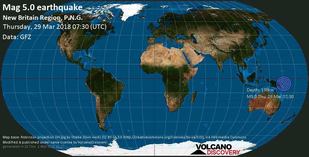
Moderate mag. 5.0 earthquake - New Britain Region, P.N.G. on Thursday, 29 March 2018

Mar 29 07:49: Magnitude recalculated from 4.9 to 5.0.
Hypocenter depth recalculated from 136.0 to 138.0 km.

Date & time: Thu, 29 Mar 07:30:59 UTC
Magnitude: 5.0
Depth: 138.0 km
Epicenter latitude / longitude: 5.37°S / 150.86°E [Map]
Nearest volcano: Walo (19 km)
Primary data source: GFZ

If you felt this quake (or if you were near the epicenter), please share your experience with us and submit a short “I felt it” report.
You can use your GPS or device location as well to show where you were during the earthquake.
– thank you.

Data for same earthquake as reported from other agencies

Time Mag. / Depth Location Map Source
Thu, 29 Mar
Thu, 29 Mar 07:30 UTC M 5.0 / 128 km NEW BRITAIN REGION, P.N.G. [Map] EMSC
Thu, 29 Mar 07:30 UTC M 5.0 / 130.7 km – 77km ENE of Kimbe, Papua New Guinea [Map] USGS
Thu, 29 Mar 07:30 UTC M 5.2 / 100 km New Britain Region, PNG [Map] GeoAu

“I felt it” reports: