RSS feed source: Volcano Discovery.com--Global earthquake monitor
Mon, 18 Aug 2025, 08:50 | BY: EARTHQUAKEMONITOR
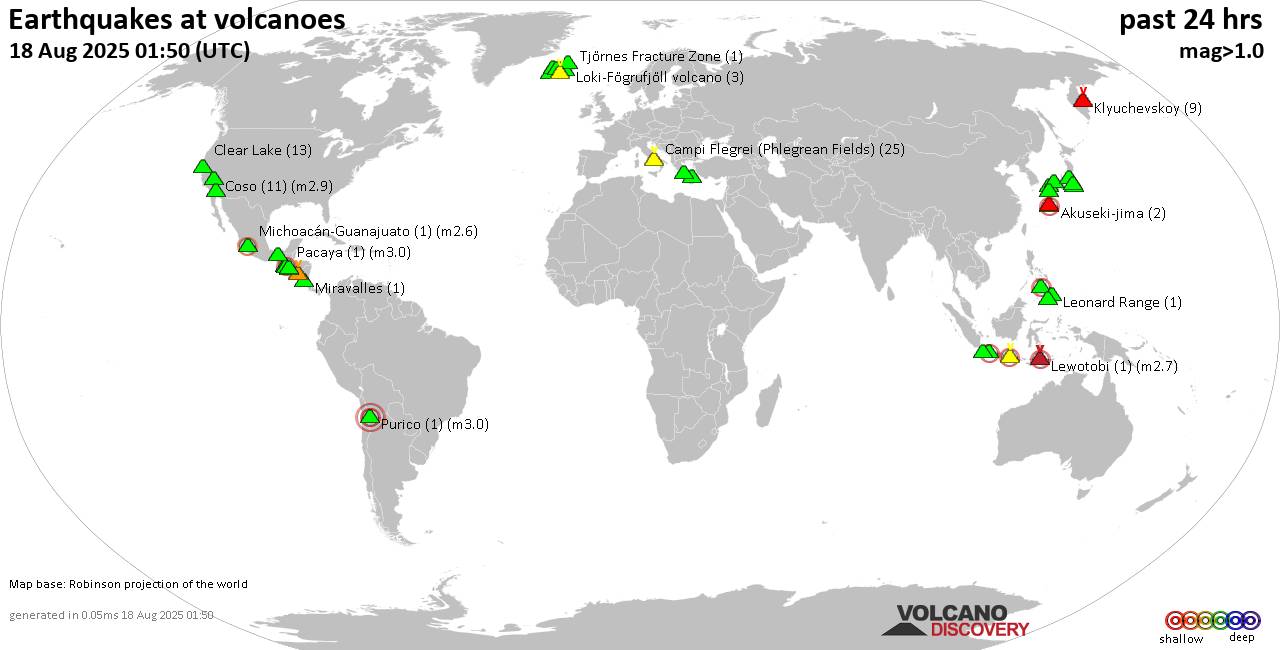
World map showing volcanoes with shallow (less than 50 km) earthquakes within 20 km radius during the past 24 hours on 18 Aug 2025 Number in brackets indicate nr of quakes.
Quakes detected near: Abu (59 quakes between mag 0.1-1.4), Agua (1 quake mag 2.9), Akuseki-jima (2 quakes between mag 2.2-2.3), Cabalian (1 quake mag 2.1), Campi Flegrei (Phlegrean Fields) (16 quakes between mag 0.1-1.6), Cerro Singüil (1 quake mag 3.2)
Ciremai (1 quake mag 2.6), Clear Lake (9 quakes between mag 0.3-1.4), Coso (13 quakes between mag 0.1-2.9), Cuernos de Negros (1 quake mag 2.6), Daisen (1 quake mag 1.8), El Chichón (5 quakes between mag 1.9-2.6), Eldey (1 quake mag 1.5), Etna (1 quake mag 1.2), Haruna (2 quakes between mag 0.2-1.4), Ijen (8 quakes between mag 2.8-4.0), Izu-Tobu (3 quakes between mag 0.6-1.6), Katla (5 quakes between mag 0.3-1.2), Kilauea (1 quake mag 2.1), Klyuchevskoy (17 quakes between mag 0.9-1.8), Kolumbo (2 quakes between mag 1.1-1.6), Kuju (5 quakes between mag 0.3-1.3), Langjökull (1 quake mag 1.2), Leonard Range (1 quake mag 1.5), Lewotobi (1 quake mag 2.7), Ljósufjöll (4 quakes between mag 0.6-1.5), Loki-Fögrufjöll volcano (2 quakes between mag 1.5-1.6), Matutum (1 quake mag 1.4), Methana (3 quakes between mag 0.9-3.4), Michoacán-Guanajuato (4 quakes between mag 2.4-3.4), Mutnovsky (16 quakes between mag
Click this link to continue reading the article on the source website.


