RSS feed source: Volcano Discovery.com--Global earthquake monitor
Date and TimeMag
DepthDistanceLocationDetailsMap Mar 27, 04:03 pm (GMT +8)
4.5
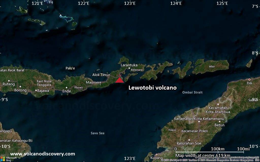
386 km59 km (37 mi) to the NW Flores Sea, 113 km north of Labuan Bajo, Indonesia InfoMar 26, 09:47 am (GMT +8)
4.9
611 km72 km (45 mi) to the W Flores Sea, 86 km north of Labuan Bajo, Indonesia 1 reportInfoMar 16, 11:44 am (GMT +8)
4.9
398 km47 km (29 mi) to the NW Flores Sea, South Sulawesi, 134 km northeast of Labuan Bajo, Indonesia InfoFeb 27, 11:52 pm (GMT +8)
4.9
175 km80 km (50 mi) to the S Flores Region, Indonesia InfoFeb 18, 12:33 pm (Makassar)
4.3
555 km65 km (41 mi) to the NE Flores Sea, 159 km southeast of Salajar Island, Indonesia InfoJan 25, 2024 08:24 pm (GMT +8)
5.6
22 km74 km (46 mi) to the SE Flores Sea, 89 km northwest of Ende, Indonesia 9 reportsInfoJun 22, 2022 01:01 pm (GMT +8)
5.6
500 km59 km (37 mi) to the N Flores Sea, South Sulawesi, 144 km northeast of Labuan Bajo, Indonesia InfoFeb 22, 2022 12:22 am (GMT +8)
5.5
10 km35 km (22 mi) to the SE 67 km NNE of Ruteng, Indonesia InfoFeb 21, 2022 08:35 pm (Makassar)
5.7
20 km43 km (27 mi) to the S 47 km NNE of Ruteng, Indonesia 2 reportsInfoDec 14, 2021 11:20 am (GMT +8)
7.3
14 km179 km (111 mi) to the E Banda Sea, 113 km north of Maumere, Indonesia 13 reportsInfoJan 11, 2021 01:20 am (Universal Time)
5.7
629 km65 km (40 mi) to the NFlores Sea, 129 km south of Salajar Island, Indonesia 3 reportsInfoJul 15, 2020 07:33 am (Makassar)
5.7
598 km72 km (45 mi) to the N Flores Sea,
Click this link to continue reading the article on the source website.