RSS feed source: Volcano Discovery.com--Global earthquake monitor
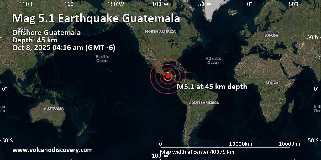
46 km (29 mi)
N of epicenter
(pop: 9,940)
IV: Light
Departamento de Retalhuleu 61 km (38 mi)
NE of epicenter
(pop: 11,100)
IV: Light
Municipio de Nueva Concepcion, Departamento de Escuintla 61 km (38 mi)
NE of epicenter
(pop: 18,200)
IV: Light
Departamento de Escuintla 71 km (44 mi)
N of epicenter
(pop: 90,500)
IV: Light
Departamento de Retalhuleu 74 km (46 mi)
N of epicenter
(pop: 10,800)
IV: Light
Departamento de Suchitepequez 75 km (46 mi)
N of epicenter
(pop: 29,200)
IV: Light
Departamento de Retalhuleu 77 km (48 mi)
N of epicenter
(pop: 39,600)
IV: Light
Departamento de Retalhuleu 77 km (48 mi)
N of epicenter
(pop: 17,400)
IV: Light
Departamento de Retalhuleu 80 km (50 mi)
E of epicenter
(pop: 24,000)
III: Weak
Departamento de Escuintla 81 km (50 mi)
NE of epicenter
(pop: 13,700)
III: Weak
Municipio de San Antonio Suchitepequez, Departamento de Suchitepequez 81 km (50 mi)
N of epicenter
(pop: 22,500)
III: Weak
Departamento de Suchitepequez 82 km (51 mi)
N of epicenter
(pop: 12,000)
III: Weak
Departamento de Quetzaltenango 82 km (51 mi)
N of epicenter
(pop: 24,400)
Click this link to continue reading the article on the source website.

