RSS feed source: Volcano Discovery.com

Tue, 3 Jun 2025, 21:00 1748984403 | BY: SEVERAL CONTRIBUTORS

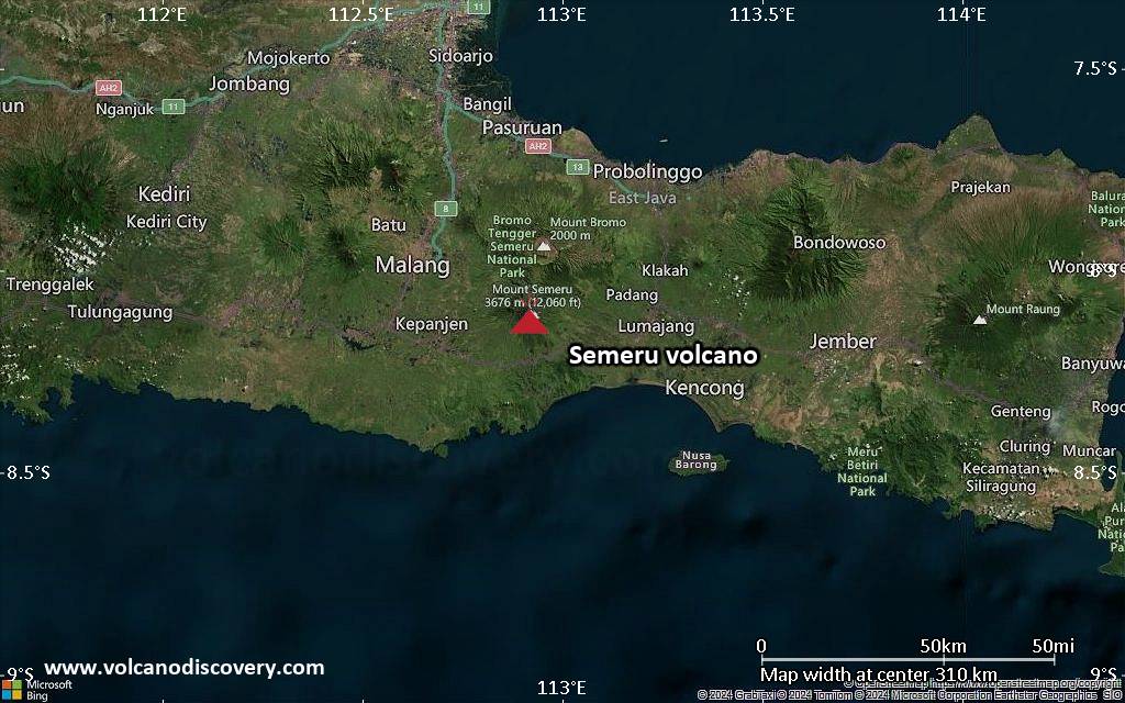
Map of today’s active volcanoes

Screenshot of the time-lapse video showing the pyroclastic flow at Etna yesterday

The latest satellite imagery of Etna during its effusive-explosive eruption yesterday (image: European Space Agency Sentinel-2)

Satellite image of Ibu volcano on 3 Jun 2025

Etna (Sicily, Italy): Time-lapse videos from webcams allow to at least partially reconstruct the series of events at Etna yesterday: first, hot material rapidly accumulated on the eastern rim of the summit vent seemed to start sliding; the release of weight then seems to allow an explosion to take place, destabilizing a larger portion of the upper flank, thus generating a very large slide.
Due to the steep slope, acceleration is large: within seconds, the moving rock masses, disintegrating and mixing with air become a turbulent, hot, fluidized mixture (pyroclastic flow) that reaches the base of the cone

Click this link to continue reading the article on the source website.

RSS feed source: Volcano Discovery.com

<!–div style="font-size:14px;text-align:center;border:3px solid blue;border-radius:5px;padding:3px;margin:5px;background:#eee"><a href="https://www.volcanoesandearthquakes.com/app/volcano-report.php?volcanoId=44" style="text-decoration:none" target="_blank" rel="noopener noreferrer nofollow" title="Share a volcano (activity) report, submit a photo or other interesting news!” onclick=”window.open(this.href,’Volcano Report’,’status=0,toolbar=0,location=0,directories=0,menubar=0,resizable=1,scrollbars=1,height=500,width=450′);return false”>Send Volcano Report</div–> Stratovolcano 3676 m (12,060 ft)
East Java, Indonesia, -8.11°S / 112.92°E
Current status: erupting (4 out of 5) Semeru volcano eruptions:
1818, 1829, 1830, 1832, 1836, 1838, 1842, 1844, 1845, 1848, 1849(?), 1851, 1856, 1857, 1865, 1866(?), 1887, 1887, 1888, 1889-91, 1892, 1893, 1893-94, 1895, 1896, 1897, 1899, 1899, 1900, 1901, 1903, 1904, 1905, 1907, 1908, 1909-10, 1910-11, 1911, 1912, 1913, 1941-42, 1945, 1946, 1946-47, 1950-64, 1967-ongoing
Typical eruption style
Explosive. Near constant strombolian activity, occasionally stronger explosions, lava flows and pyroclastic flows.

Click this link to continue reading the article on the source website.

RSS feed source: Volcano Discovery.com

Date and TimeMag
DepthDistanceLocationDetailsMap Mar 3, 05:42 am (Auckland)

4.1

72 km20 km (12 mi) to the E 44 km northwest of Te Anau, Southland, New Zealand 5 reportsInfoMar 1, 04:00 am (Auckland)

4.3

44 km37 km (23 mi) to the E 44 km north of Te Anau, Southland, New Zealand 2 reportsInfoFeb 25, 08:26 am (Auckland)

4.1

102 km22 km (14 mi) to the E 44 km northwest of Te Anau, Southland, New Zealand InfoFeb 25, 05:44 am (Auckland)

4.4

28 km16 km (9.7 mi) to the NE 56 km northwest of Te Anau, Southland, New Zealand 1 reportInfoFeb 8, 03:47 am (Auckland)

4.0

35 km47 km (29 mi) to the S 47 km west of Te Anau, Southland, New Zealand InfoAug 12, 2020 10:16 pm (Auckland)

5.7

5 km65 km (40 mi) to the NE Tasman Sea, 33 km west of Milford Sound, Southland, New Zealand 5 reportsInfoJun 25, 2020 10:20 am (Auckland)

5.9

5 km64 km (40 mi) to the NE Tasman Sea, 35 km west of Milford Sound, Southland, New Zealand 11 reportsInfoApr 27, 2020 10:52 am (Auckland)

5.6

67 km37 km (23 mi) to the E 43 km north of Te Anau, Southland, New Zealand 9 reportsInfoOct 24, 2019 09:53 pm (Auckland)

5.6

5 km57 km (35 mi) to the NE Tasman Sea, 38 km west of Milford Sound, Southland, New Zealand 14 reportsInfoAug 5, 2009 08:31 pm (Auckland)

6.1

10 km77 km (48 mi) to the SW Tasman Sea, 42 km northwest of Cooper Island, New Zealand InfoJul 15, 2009 09:22 pm (Auckland)

7.8

12 km83 km (51 mi) to the SW Tasman Sea, 21 km west of Cooper Island, New Zealand

Click this link to continue reading the article on the source website.