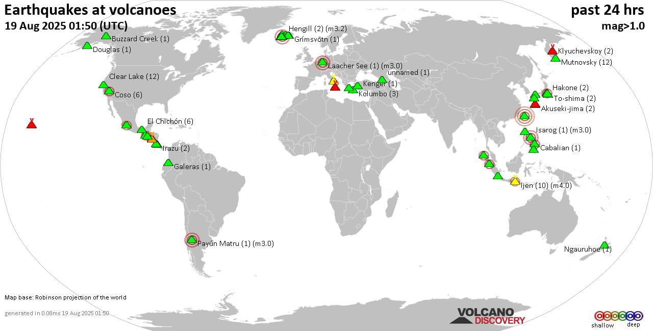
RSS feed source: Volcano Discovery.com--Global earthquake monitor
Date and TimeMag
DepthDistanceLocationDetailsMap Aug 17, 09:37 am (Managua)
3.5
158 km74 km (46 mi) to the NE Nicaragua I FELT IT
Info
Aug 12, 08:02 pm (Tegucigalpa)
3.1
213 km172 km (107 mi) to the NE 25 km southwest of Tegucigalpa, Departamento de Francisco Morazan, Honduras I FELT IT
Info
Aug 9, 02:42 pm (El Salvador)
3.8
63 km118 km (73 mi) to the N 20 km Al Oeste De San Francisco, El Salvador 1 report
Info
Aug 5, 06:46 pm (Tegucigalpa)
3.8
3 km92 km (57 mi) to the NE 4 km Al Oeste De Amapala, Honduras 2 reportsInfoAug 5, 06:46 pm (Tegucigalpa)
3.8
4.1 km91 km (57 mi) to the NE North Pacific Ocean, 56 km west of Ciudad Choluteca, Honduras 1 report
Info
Aug 3, 08:07 am (Tegucigalpa)
3.9
3 km92 km (57 mi) to the NE 3 km Al Oeste De Amapala, Honduras
Info
Jun 8, 06:03 pm (Tegucigalpa)
4.0
3 km223 km (138 mi) to the NE 31 km north of Tegucigalpa, Departamento de Francisco Morazan, Honduras 9 reportsInfoJun 8, 04:26 pm (Tegucigalpa)
4.3
10 km215 km (134 mi) to the NE 24 km north of Tegucigalpa, Departamento de Francisco Morazan, Honduras 29 reportsInfoFeb 8, 05:32 pm (El Salvador)
4.0
8 km82 km (51 mi) to the N 13 km west of La Union, Departamento de La Union, El Salvador 12 reportsInfoFeb 6, 11:36 pm (El Salvador)
4.4
207 km79 km (49 mi) to the N 18 km south of San Miguel, Departamento de San Miguel, El Salvador InfoDec 8, 2024 09:50 pm (El Salvador)
5.6
10 km83 km (52 mi) to the NE 5.6 km south of La Union, Departamento de La Union, El Salvador 242 reportsInfoDec 7,
Click this link to continue reading the article on the source website.

