RSS feed source: Volcano Discovery.com--Global earthquake monitor
Sat, 25 Oct 2025, 19:55 | BY: EARTHQUAKEMONITOR
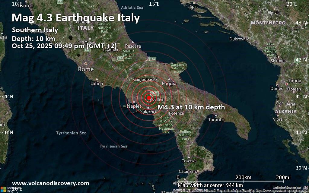
An earthquake of magnitude 4.3 occurred only 5 minutes ago 5 km north of Avellino, Italy, the German Research Centre for Geosciences (GFZ) reported.
The quake hit at a shallow depth of 10. km beneath the epicenter near Avellino, Province of Avellino, Campania, Italy, in the evening on Saturday, October 25th, 2025, at 9:49 pm local time. The exact magnitude, epicenter, and depth of the quake might be revised within the next few hours or minutes as seismologists review data and refine their calculations, or as other agencies issue their report.
A second report was later issued by the citizen-seismograph network of RaspberryShake, which listed it as a magnitude 4.3 earthquake as well.
Based on the preliminary seismic data, the quake was probably felt by many people in the area of the epicenter. It should not have caused significant damage, other than objects falling from shelves, broken windows, etc.
In Avellino (pop. 48,100) located 5 km from the epicenter, the quake should have been felt as light shaking.
Weak shaking might have been felt in Benevento (pop. 58,400) located 19 km from the epicenter, Sarno (pop. 28,800) 23 km away, Nocera Inferiore (pop. 45,600) 27 km away, Cava De Tirreni (pop. 53,100) 30 km away, Scafati (pop. 48,700) 31 km away, Salerno (pop. 125,800) 32 km away, Torre
Click this link to continue reading the article on the source website.

