RSS feed source: Global Disaster Alert and Coordination Systems (GDACS).
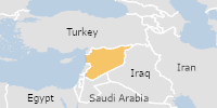
On 26/10/2026, a flood started in Egypt, lasting until 28/10/2026 (last update). The flood caused 2 deaths and 0 displaced .
Click this link to continue reading the article on the source website.