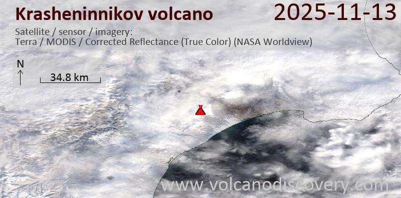
RSS feed source: USGS Earthquake Hazards Program
Time2025-11-13 21:59:53 UTC2025-11-13 21:59:53 UTC at epicenterLocation17.602°S 178.623°WDepth538.90 km (334.86 mi)
Click this link to continue reading the article on the source website.
RSS feed source: USGS Earthquake Hazards Program
Time2025-11-13 21:59:53 UTC2025-11-13 21:59:53 UTC at epicenterLocation17.602°S 178.623°WDepth538.90 km (334.86 mi)
Click this link to continue reading the article on the source website.
RSS feed source: USGS Earthquake Hazards Program
Time2025-11-13 21:59:53 UTC2025-11-13 21:59:53 UTC at epicenterLocation17.602°S 178.623°WDepth538.90 km (334.86 mi)
Click this link to continue reading the article on the source website.
RSS feed source: USGS Earthquake Hazards Program
Support Us – Help Us Enhance Our Services! We’re passionate about delivering the latest volcano and earthquake data from around the globe — just for you. However, maintaining our website and free apps requires significant time, effort, and resources.
Your support helps us expand our hardware and software capabilities and empowers our dedicated editorial team. Our mission is to provide uninterrupted, real-time updates whenever an earthquake strikes or a volcano erupts — and your donations make this possible. Every contribution, big or small, is deeply appreciated. If you find our information valuable and want to help us add new features, create compelling content, and improve our technology, please consider making a donation: Donate with PayPal: Planned Features: Improved multilingual support Tsunami alerts Faster responsiveness Thanks to your past donations, we have recently added: Design upgrades Detailed earthquake
Click this link to continue reading the article on the source website.
RSS feed source: USGS Earthquake Hazards Program
Date and TimeMag
DepthDistanceLocationDetailsMap Nov 9, 01:06 am (Mexico City)
4.5
114 km86 km (54 mi) to the SE 26 km ESE of Santa María Chimalapa, Mexico I FELT IT – 7 reportsInfoNov 8, 04:12 pm (Mexico City)
4.1
108 km67 km (42 mi) to the S 48 km north of Juchitan de Zaragoza, Estado de Oaxaca, Mexico I FELT IT InfoNov 7, 03:41 am (Mexico City)
4.3
99 km91 km (57 mi) to the S 36 km northeast of Juchitan de Zaragoza, Estado de Oaxaca, Mexico I FELT IT InfoNov 6, 06:13 am (Mexico City)
4.7
176 km89 km (56 mi) to the E Estado de Veracruz-Llave, 132 km northwest of Tuxtla, Estado de Chiapas, Mexico I FELT IT – 6 reportsInfoNov 5, 03:38 pm (Mexico City)
4.2
124 km49 km (31 mi) to the SE 35 km northeast of Matias Romero, Estado de Oaxaca, Mexico InfoNov 2, 05:19 pm (Mexico City)
5.0
192 km89 km (55 mi) to the NE 19 km southwest of Las Choapas, Estado de Veracruz-Llave, Mexico 2 reportsInfoOct 28, 06:33 am (Mexico City)
4.3
98 km73 km (45 mi) to the SW 28 km west of Matias Romero, Estado de Oaxaca, Mexico InfoOct 6, 2023 11:06 pm (Mexico City)
6.0
110 km57 km (36 mi) to the S 12 km northwest of Matias Romero, Estado de Oaxaca, Mexico 127 reportsInfoMar 5, 2022 09:29 pm (Mexico City)
5.6
88 km86 km (54 mi) to the S 43 km northwest of Juchitan de Zaragoza, Estado de Oaxaca, Mexico 97 reportsInfoMar 3, 2022 08:40 am (Mexico City)
5.7
113 km97 km (60 mi) to the NW 14 km north of
Click this link to continue reading the article on the source website.